Roman Empire Map

| | January 12, 2021

Below is a list of Roman Empire maps you can download, print, or use in any way you want.

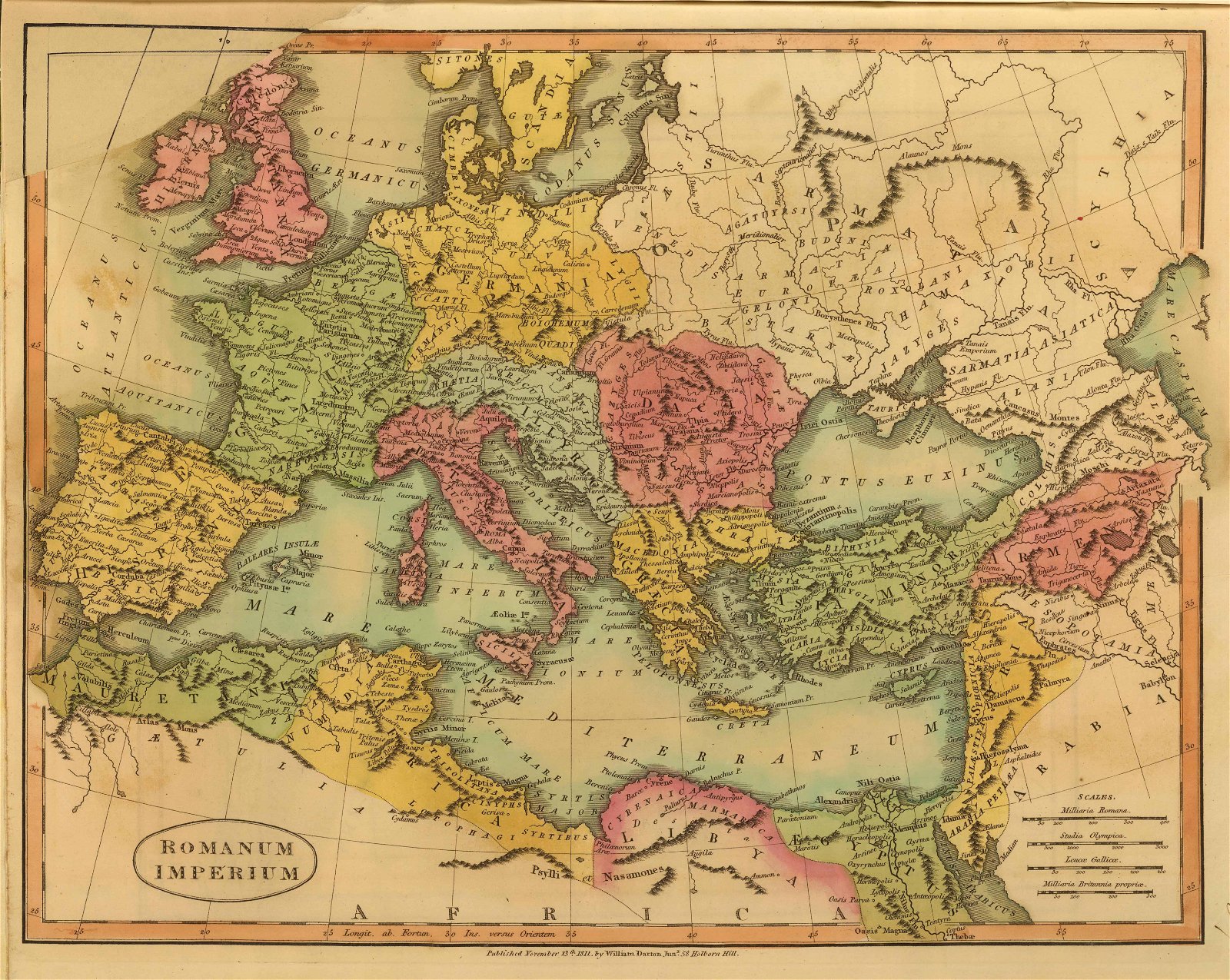
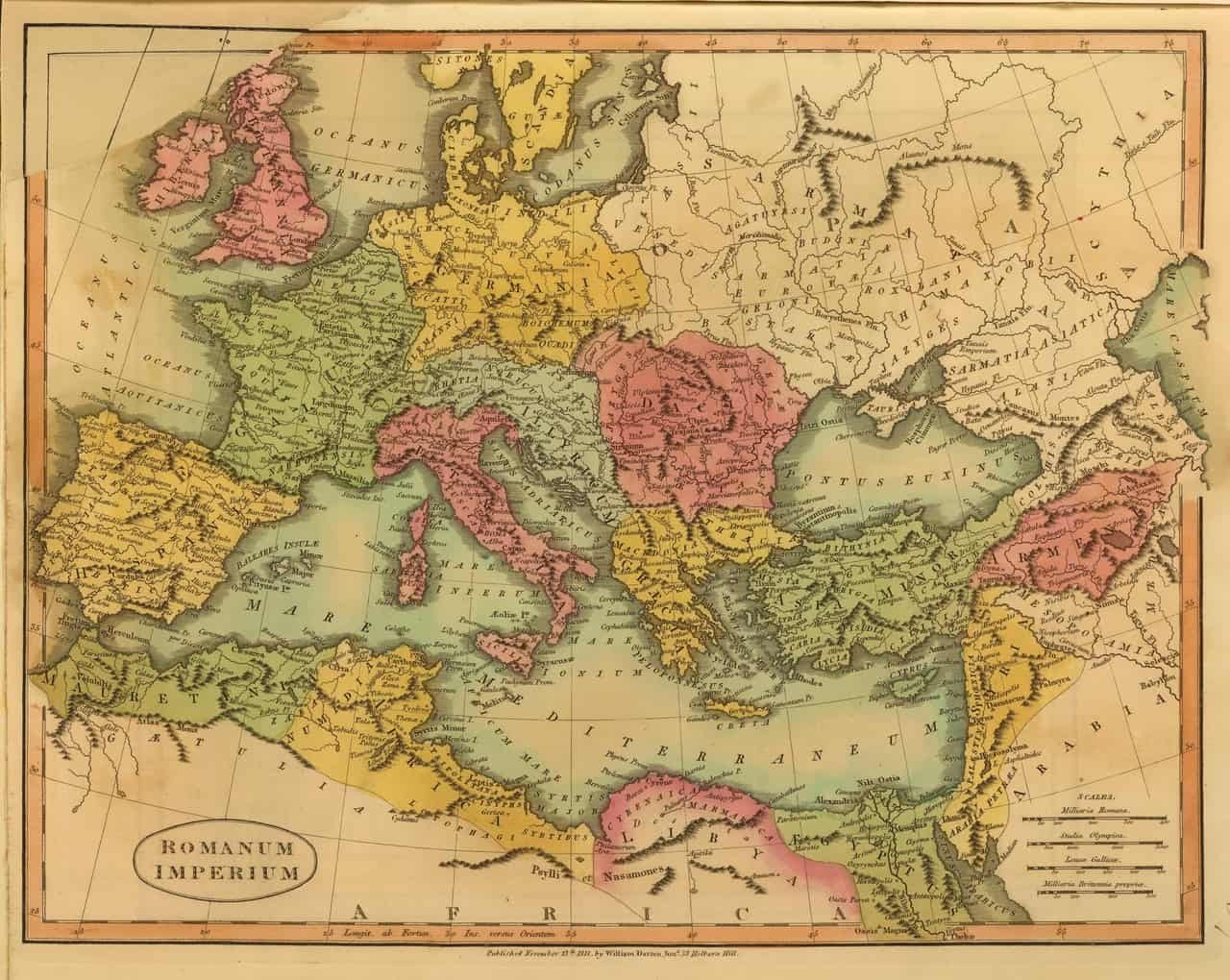
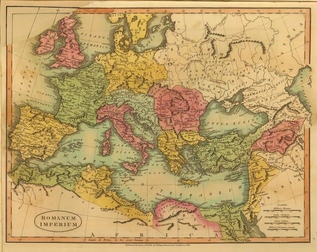
Romanum Imperium – 1811

Romanum Imperium - Roman Empire Map 320x255

Hand-colored engraved map in Latin. Published November 13th 1811, by William Darton Jnr.

Full – 6141 x 4895 JPG
Large – 1280 x 1020 JPG
Medium – 640 x 510 JPG
Small – 320 x 255 JPG

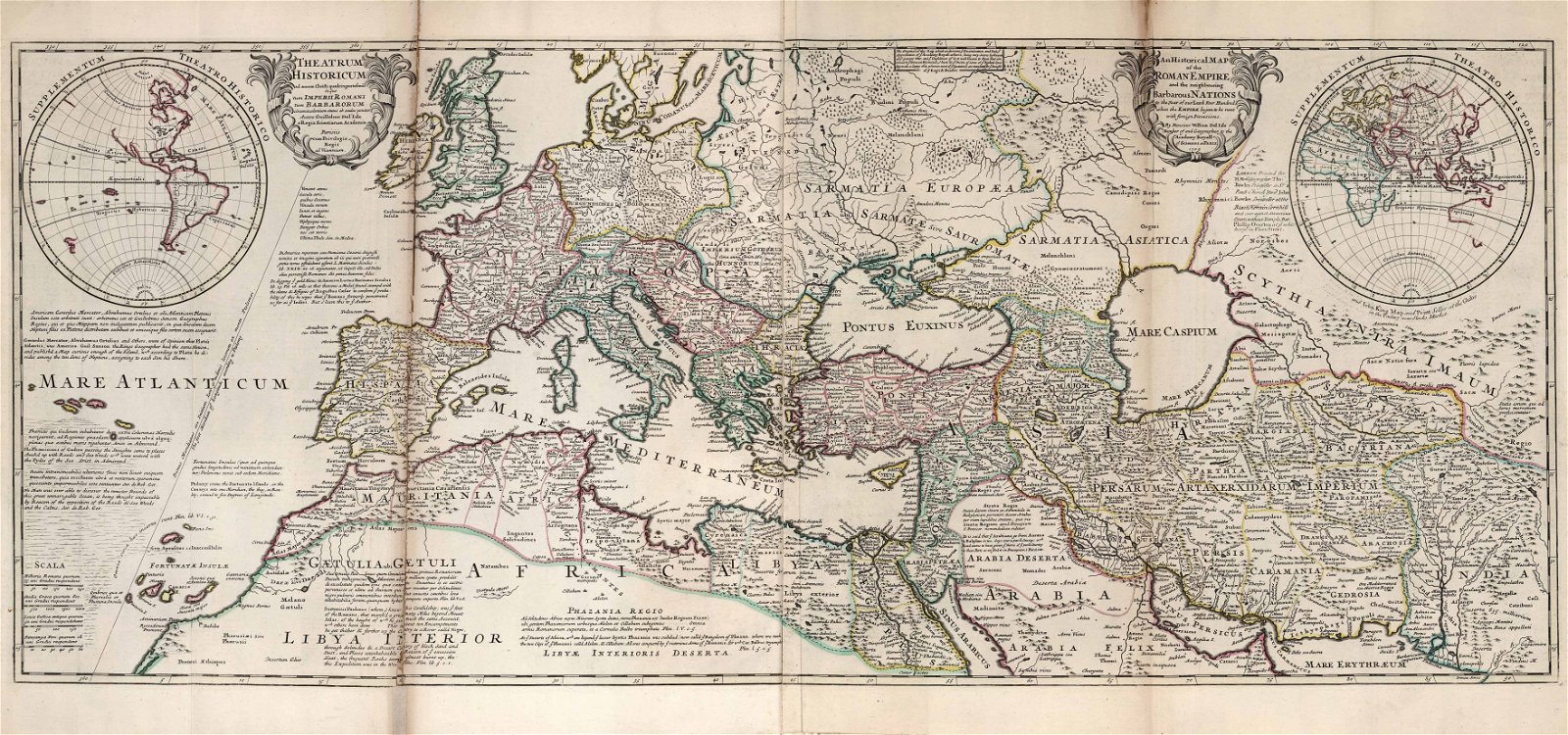
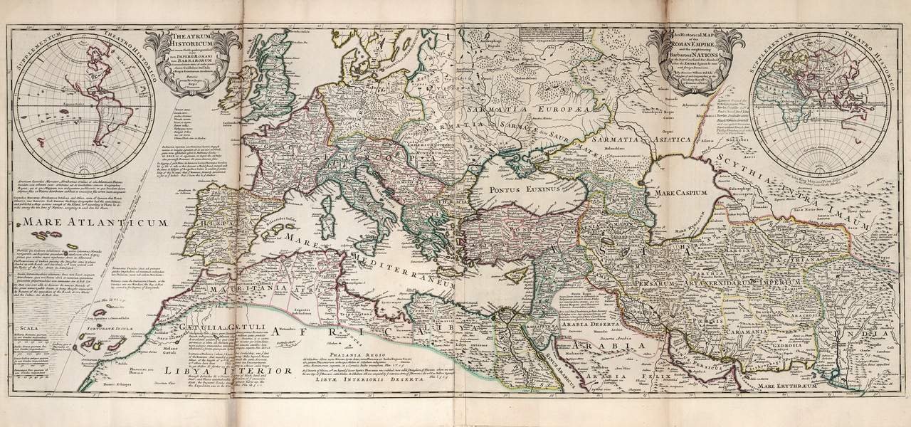
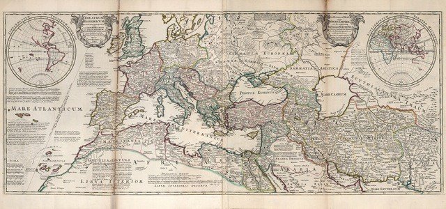
Historic Map of the Roman Empire

Historic map of the Roman Empire

Hand-drawn, colored, and annotated map published by Herman Moll 1732

Full – 7061 x 3312 JPG
Large – 1280 x 600 JPG
Medium – 640 x 300 JPG
Small – 320 x 150 JPG

How to Cite this Article

There are three different ways you can cite this article.

1. To cite this article in an academic-style article or paper, use:

James Hardy, "Roman Empire Map", History Cooperative, September 29, 2015, https://historycooperative.org/roman-empire-map/. Accessed April 26, 2024

2. To link to this article in the text of an online publication, please use this URL:

https://historycooperative.org/roman-empire-map/

3. If your web page requires an HTML link, please insert this code:

<a href="https://historycooperative.org/roman-empire-map/">Roman Empire Map</a>

Leave a Comment

Share
Tweet
Reddit
Pin
Email